Posts Tagged: drone management software

Importance of aerial photography services for digital india
Aerial photography is the art of taking photographs from an aircraft, unmanned aerial vehicles or any other flying object. Drones or unmanned aerial vehicles are[…]

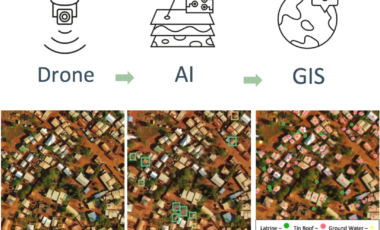
How Drones Are Revolutionizing GIS
A Geographic Information System (GIS) is a computer data system capable of capturing, storing, analyzing, and displaying geographically referenced information. It is a system that[…]

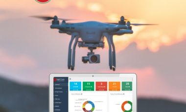
Droniview – All in one solution to streamline your drone operations
Dronitech, the national leader in drone inspection services & training has launched the Droniview – Drone Management Software. Droniview is a secure, web-based drone management[…]

