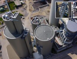
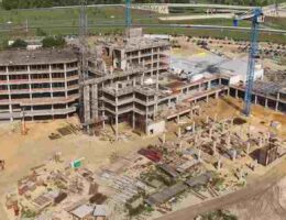
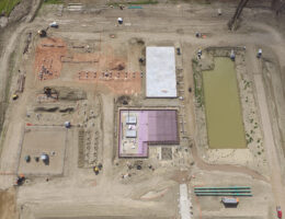
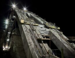
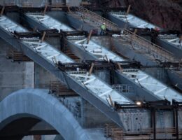
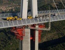
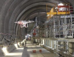
We offer our UAV aerial mapping and aerial services to a variety of clients. From land mapping and turbine inspections to roof inspections and thermographic surveys.
Rail Line Monitoring
Drones are now changing key aspects of railway monitoring and their surveillance. Drones have proven an invaluable tool for aerial surveying, mapping, inspection, security, and the rail is using these drones to carry out track inspections, to enhance safety and to monitor in detail substantial sections of rail lines in real time, with live streaming.
Our drones are equipped with UltraHD cameras which enable us to generate extremely precise aerial images and videos.Which provides a comprehensive mapping of the inspected object’s technical condition.
In Indian railways, drones are deploying to undertake monitoring activities of the rescue operation, project monitoring, conditions of tracks, inspection related activities.
Any structural failures need to be avoided at all costs through early detection and preventive maintenance. And when they do occur, teams have to swing into action to get the traffic back to normal. Our drones are making the process of capturing and monitoring rail information faster, safer and cheaper. Dronitech company recently used drones to perform a land survey of the railways for the western line and also done mapping of the railways for Titwala, Dombivali, and Palghar.
drone infrastructure services
Our drones would be instrumental in providing real-time inputs related to safety and maintenance of tracks and other railway infrastructure.
Dronitech helping Indian Railways by providing Easy visualization of data, Easy accessibility by eliminating hardware limitations to figure out encroachment and raising an issue for subsequent follow-ups. The solutions help railways to make the best use of maps through collaborative analysis.


