- Services
- All Services
- All Locations
- Surveying
- Drone Infrastructure Services
- Drone Services for Agriculture
- Drone Inspection for Cell Towers
- Drone Media Services
- Drone Mapping Services
- Drone Mining Inspection
- Drone for Surveillance And Security
- Industrial Robotics and Unmanned Systems
- Semiconductor Design and Innovation Services
- Factory Automation Solutions
- Portfolio
- Unmanned Products
- Drone Training
- Blog
- Brochure
- Contact us
Blog
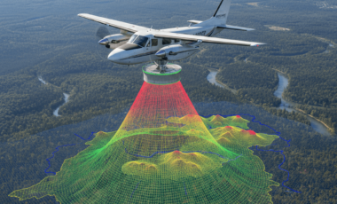
LiDAR in Modern Aerial Surveying Is Transforming Precision Mapping
LiDAR in modern aerial surveying has become one of the most powerful technologies driving accuracy and efficiency in drone-based mapping solutions. As industries demand higher[…]
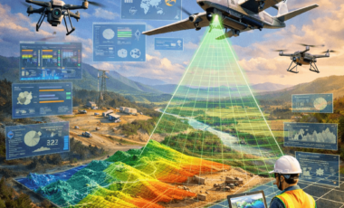
Real-Time Analytics in Drone Mapping Is Transforming Aerial Intelligence
Real-time analytics in drone mapping is changing the way industries collect, process, and use geospatial data. Traditionally, drone surveys required hours or even days of[…]
Autonomous Inspection Drones Are Transforming Infrastructure Monitoring
Autonomous inspection drones are rapidly redefining how industries monitor bridges, highways, power lines, railways, telecom towers, and industrial plants. In 2026, these intelligent UAV systems[…]
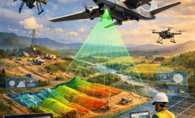
Self-Flying UAVs for Survey & Mapping Are Redefining Aerial Intelligence
Self-flying UAVs for survey & mapping are transforming how industries collect, analyze, and use geospatial data in 2026. What once required manual drone piloting, multiple[…]

How Semiconductor Innovation at Dronitech Supports the Next Generation of Devices
Semiconductor innovation at Dronitech is shaping the future of smart devices used across industries such as drones, robotics, automation, and intelligent electronics. As devices become[…]

How Drone Videography Improves Brand Storytelling
Drone videography for brand storytelling has transformed the way brands connect with their audiences. In a digital world where attention spans are short, brands need[…]

How Drone Cinematography Is Changing Film and TV Production in India
Drone cinematography in India has rapidly evolved from a niche filming technique into a mainstream production tool for films, television, OTT platforms, and advertisements. With[…]

How Drone Surveillance Supports Public Safety During Large Events
Drone surveillance for public safety during large events has become an essential tool for managing crowds, preventing incidents, and ensuring smooth event operations. From religious[…]

Drone Inspection for Cell Towers: A Safer Alternative to Climbing Crews
Drone inspection for cell towers is rapidly emerging as a safer and more efficient alternative to traditional climbing-based inspections. As telecom infrastructure expands to support[…]

GIS Mapping Using Drones: Applications in Urban Planning
GIS mapping using drones is rapidly transforming the way urban planning is approached in modern cities. As urban areas expand and infrastructure becomes more complex,[…]