- Services
- All Services
- All Locations
- Surveying
- Drone Infrastructure Services
- Drone Services for Agriculture
- Drone Inspection for Cell Towers
- Drone Media Services
- Drone Mapping Services
- Drone Mining Inspection
- Drone for Surveillance And Security
- Industrial Robotics and Unmanned Systems
- Semiconductor Design and Innovation Services
- Factory Automation Solutions
- Portfolio
- Unmanned Products
- Drone Training
- Blog
- Brochure
- Contact us
Posts by: Rohit S

Drone as a Service (DaaS): The Future of Smart Aerial Solutions
The technology behind drones has seen tremendous growth from an invention into an effective tool of conducting business operations, and this has been brought about[…]
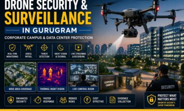
Drone Security and Surveillance in Gurugram | Corporate Campus & Data Center Protection
Drone security and surveillance in Gurugram helps protect corporate campuses and data centers with real-time monitoring, aerial patrols, threat detection and advanced drone technology. Gurugram,[…]
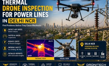
Thermal Drone Inspection for Power Lines in Delhi | Prevent Blackouts & Improve Safety
Thermal drone inspection for power lines in Delhi helps detect hot spots, prevent blackouts and improve safety with fast, accurate and non-contact drone inspections. Delhi[…]
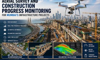
Drone Aerial Survey in Mumbai for Construction Progress Monitoring & 3D Mapping
Looking for drone aerial survey in Mumbai? Get precise mapping, faster data collection and real-time project monitoring for construction sites. Mumbai is a city[…]
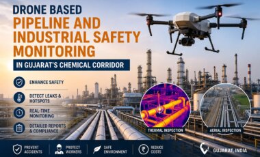
Industrial Drone Inspection in Gujarat | Pipeline & Safety Monitoring
Get reliable industrial drone inspection in Gujarat for pipelines, chemical plants & safety monitoring. Detect leaks, reduce risks & ensure compliance with advanced drone technology.[…]

How Drone Inspection Saves 60 Percent Cost in Infrastructure Projects
Infrastructure projects today are getting bigger and more complex. Whether it is bridges, roads, power lines, or industrial plants, regular inspection is very important to[…]

Drone Regulations and Compliance in 2026 Are Reshaping the UAV Industry
Drone regulations and compliance in 2026 are playing a crucial role in shaping how commercial and industrial drone operations are conducted worldwide. As drone technology[…]
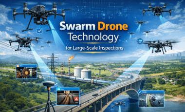
Swarm Drone Technology for Large-Scale Inspections Is Redefining Industrial Monitoring
Swarm drone technology for large-scale inspections is emerging as one of the most transformative innovations in the drone services industry. Instead of relying on a[…]
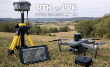
RTK and PPK in Precision Drone Mapping Are Redefining Survey Accuracy
RTK and PPK in precision drone mapping have become essential technologies for delivering centimeter-level accuracy in aerial surveys. As industries increasingly rely on drone data[…]
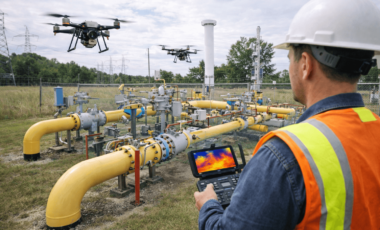
Drone Monitoring for Gas Distribution Networks Is Transforming Urban Infrastructure Safety
Drone monitoring for gas distribution networks is rapidly becoming an essential solution for ensuring safety, efficiency, and reliability in densely populated urban areas. As cities[…]