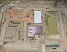
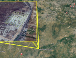
Map’s the first need at the beginning of any project — from small construction work to large-scale mining and infrastructure development. These needs are conventionally met by satellite imagery, which is often outdated and lacks precision, or through conventional surveys using ground equipment, which take days to deliver results.
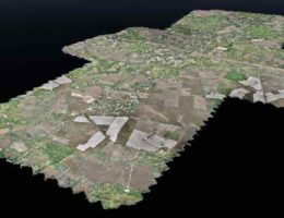
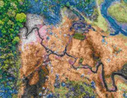
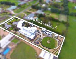
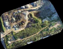
At Dronitech, we offer drone aerial mapping services and aerial photogrammetry services using advanced drone technology that fills in the gaps left by satellite mapping. Our drones produce sophisticated, high-resolution 2D maps that provide up-to-date, highly accurate data for your site.
We currently serve industries including construction, oil & gas, landscape architecture, and land surveying, among others. By using UAVs, we deliver detailed maps at a fraction of the time and cost of traditional methods — without compromising on quality.
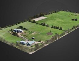
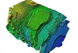
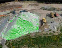
Our Aerial Intelligence Platform provides a powerful set of tools for visualizing, measuring, and storing spatial data. Intuitive controls allow users to explore any site in 2D or 3D, with full support for orthophotography, digital surface models, and 3D terrain models.
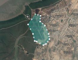
Our team specializes in large-area mapping and has successfully completed numerous major projects across different sectors. Compared to satellite imagery and conventional manned aircraft methods, UAV-based aerial mapping services and aerial photogrammetry services provide a clear edge in both accuracy and cost-efficiency.


